Permit → GPS Navigation
Permits are converted into turn-by-turn truck routes. Every intersection checked against our proprietary database.
How It Works

01
Capture
Load permit via camera, PDF, or saved photo.
02
Process
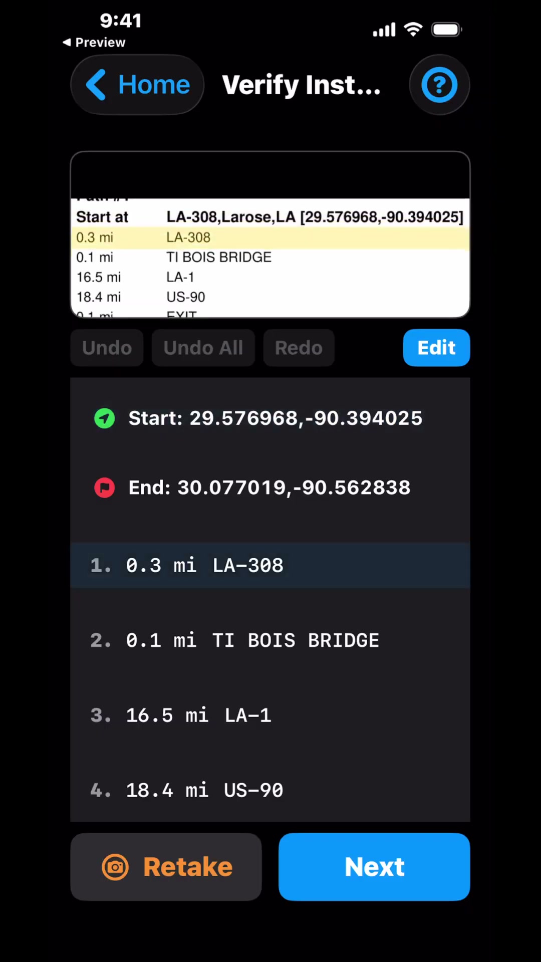
Roads, coordinates, and mileage are extracted. Simple to review and edit yourself.
03
Verify & Navigate
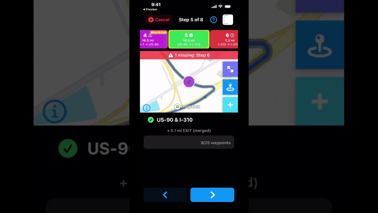
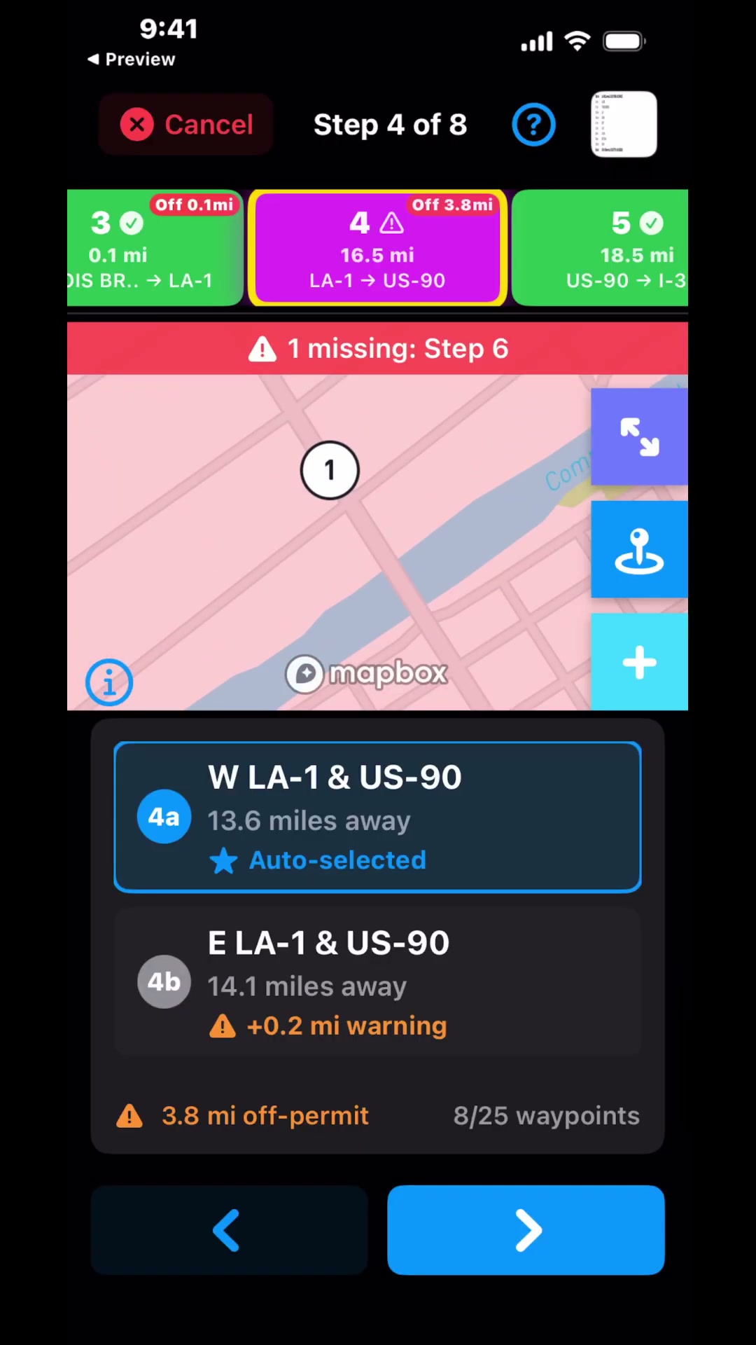
Step through each intersection. Select the correct waypoint. If needed, place missing waypoints and set anchors to keep the route on permit.